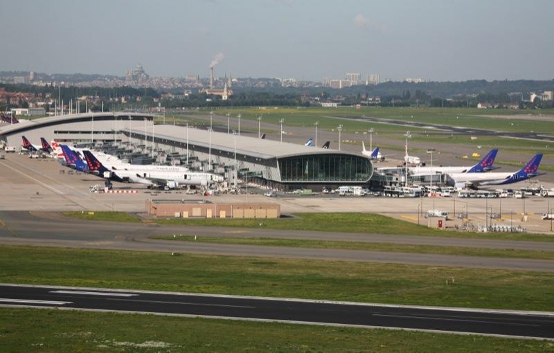
Working in cooperation with the European Space Agency (ESA), a Danish firm, Ascend XYZ, has developed a satellite-based service allowing airports to identify and manage obstacles that could pose a risk to flight safety. The service relies on satellites and aircraft combined with smart web-based software.
According to the project’s promoters, only about one-quarter of the world’s 48,000 airports can currently allow aircraft to land in poor weather, and only 500 airports have a specialist on site to pinpoint obstacles that might exceed height restrictions within flight paths.
The service, which is designed for use by non-specialists, helps airports to comply with airside safety regulations. Using existing airport data, it calculates the restricted aerial zones around the airport. Ascend says that the availability of free data from the latest Copernicus Sentinel satellites make the solution affordable for airports
“Until now, airports have used maps and a team of specialists to do these calculations but our service does this for them and outputs the correct documentation for airport authorities,” explains Ascend CEO Peter Hemmingsen.

