Europe's Copernicus Sentinel-1 radar mission is being used to monitor damage and flooding in the aftermath of Hurricane Florence.
Europe's Copernicus Sentinel-1 radar mission is being used to map damage and flooding in the aftermath of Hurricane Florence, which made landfall in the U.S. state of North Caroline on 14th September.
Although the hurricane was downgraded to category 1 before it made landfall, it generated widespread storm surges and flooding.
The Copernicus Emergency Management Service was standing by – even before storm hit land – ready to map the floods to help relief efforts. Using satellite information, the service provides information for emergency response for different types of disasters, including meteorological and geophysical hazards, deliberate and accidental disasters, humanitarian disasters, and for prevention, preparedness, response and recovery activities.
Sentinel-1 is a two-satellite constellation. Each identical satellite carries an advanced radar instrument, which can ‘see’ through clouds and rain. This is essential for mapping weather events such as this.
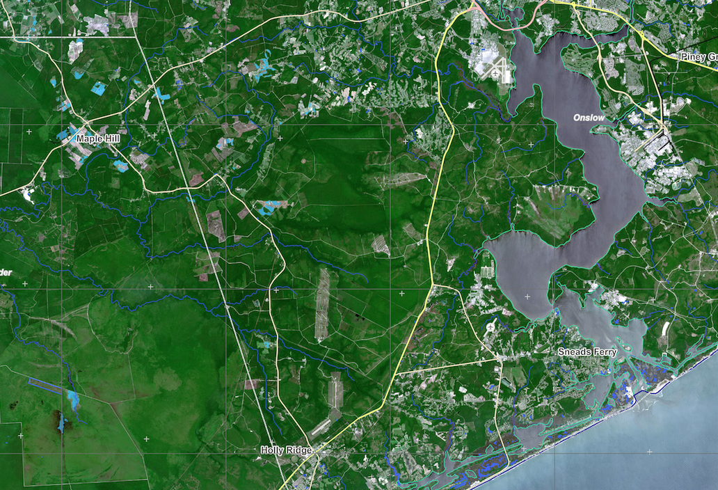
The first maps show flooded areas is near Jacksonville and Kinston, North Carolina.
The Sentinel-1 satellites, together with other satellites contributing to the Copernicus Emergency Management Service, will provide further observations in the coming days.
The maps produced by the service are being used by the U.S. Federal Emergency Management Agency, which triggered the activation.