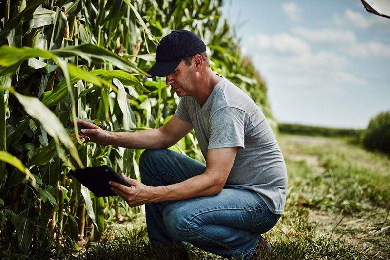
Under an agreement with The Climate Corporation, images will be used by farmers to monitor crop health and performance.
Airbus Defence and Space and The Climate Corporation, a subsidiary of Bayer, have announced a global agreement to deliver satellite imagery from Airbus to farmers through the Climate FieldView digital agriculture platform. The Climate Corporation aims to help farmers sustainably increase productivity through the use of digital tools.
Farmers who use Climate FieldView will have access to high-resolution data of their fields — from the Airbus SPOT 6, SPOT 7 and Pléiades satellites — throughout the growing season. This will give them the ability to more precisely monitor crop health and performance, helping them take action in the field before yield is impacted at the end of the season.
They will also be able to visualise this satellite imagery alongside other data layers in their FieldView account, including planting and yield data, giving further insights into crop health.
The large swath and coverage capabilities of the SPOT satellites complements the Pléiades satellites, which can be used to pinpoint details in specific areas, thanks to their combination of sub-meter resolution and multispectral bands.